
Pruszków County topographic map
Interactive map
Click on the map to display elevation.
About this map
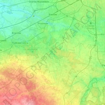
Name: Pruszków County topographic map, elevation, terrain.
Location: Pruszków County, Masovian Voivodeship, Poland (52.00091 20.63080 52.20118 20.98905)
Average elevation: 116 m
Minimum elevation: 84 m
Maximum elevation: 177 m