
Joplin topographic map
Interactive map
Click on the map to display elevation.
About this map
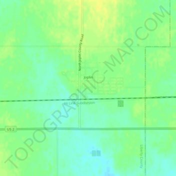
Name: Joplin topographic map, elevation, terrain.
Location: Joplin, Liberty County, Montana, United States of America (48.55297 -110.79983 48.56668 -110.75617)
Average elevation: 1,011 m
Minimum elevation: 1,001 m
Maximum elevation: 1,020 m