
Gudipadu topographic map
Interactive map
Click on the map to display elevation.
About this map
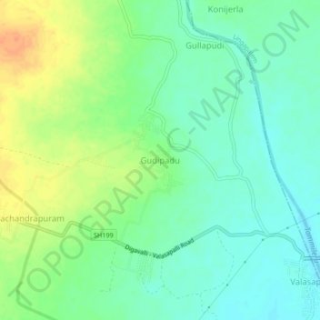
Name: Gudipadu topographic map, elevation, terrain.
Location: Gudipadu, Musunuru, Andhra Pradesh, 534462, India (16.86240 80.94359 16.90240 80.98359)
Average elevation: 65 m
Minimum elevation: 50 m
Maximum elevation: 88 m