
Autejac topographic map
Interactive map
Click on the map to display elevation.
About this map
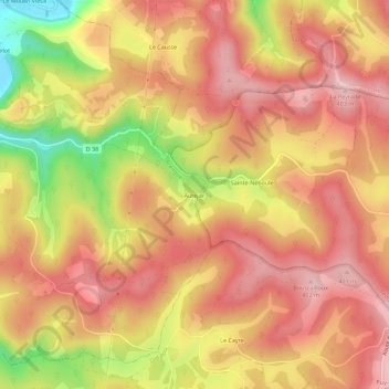
Name: Autejac topographic map, elevation, terrain.
Average elevation: 318 m
Minimum elevation: 159 m
Maximum elevation: 405 m
Other topographic maps
Click on a map to view its topography, its elevation and its terrain.
Le Moulin Vieux
France > Occitanie > Lot > Brengues
Le Moulin Vieux, Brengues, Figeac, Lot, Occitanie, France métropolitaine, 46320, France
Average elevation: 277 m