
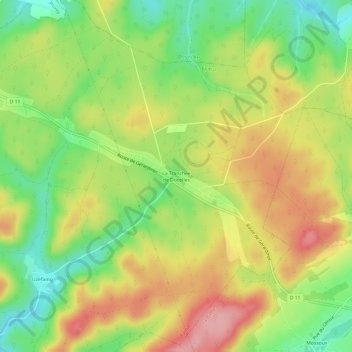
La Tranchée de Docelles topographic map
Interactive map
Click on the map to display elevation.
About this map
Name: La Tranchée de Docelles topographic map, elevation, terrain.
Average elevation: 416 m
Minimum elevation: 352 m
Maximum elevation: 483 m
Other topographic maps
Click on a map to view its topography, its elevation and its terrain.
Saut le Cerf
France > Grand Est > Vosges > Épinal
Saut le Cerf, Épinal, Vosges, Grand Est, France métropolitaine, 88000, France
Average elevation: 349 m