
Ifat topographic map
Interactive map
Click on the map to display elevation.
About this map
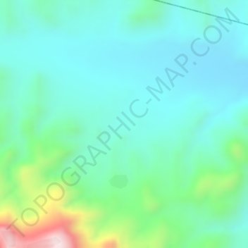
Name: Ifat topographic map, elevation, terrain.
Location: Ifat, Zone 3, Afar Region, Ethiopia (9.72333 39.89000 9.74333 39.91000)
Average elevation: 1,240 m
Minimum elevation: 1,136 m
Maximum elevation: 1,559 m
Other topographic maps
Click on a map to view its topography, its elevation and its terrain.