
Jerome County topographic map
Interactive map
Click on the map to display elevation.
About this map
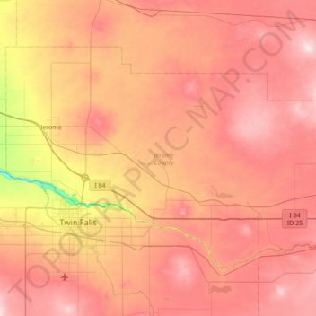
Name: Jerome County topographic map, elevation, terrain.
Location: Jerome County, Idaho, United States (42.49773 -114.61700 42.85135 -113.93082)
Average elevation: 1,225 m
Minimum elevation: 912 m
Maximum elevation: 1,452 m
Other topographic maps
Click on a map to view its topography, its elevation and its terrain.
Lewiston
United States > Idaho > Nez Perce County
Lewiston, Nez Perce County, Idaho, 83501, United States
Average elevation: 334 m