
临河乡 topographic map
Interactive map
Click on the map to display elevation.
About this map
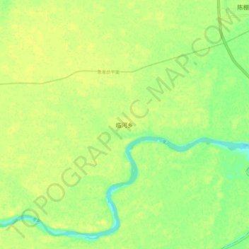
Name: 临河乡 topographic map, elevation, terrain.
Location: 临河乡, 息县, 信阳市, 河南省, 中国 (32.26990 114.93600 32.34990 115.01600)
Average elevation: 40 m
Minimum elevation: 27 m
Maximum elevation: 47 m