
Rawdon Crematorium topographic map
Interactive map
Click on the map to display elevation.
About this map
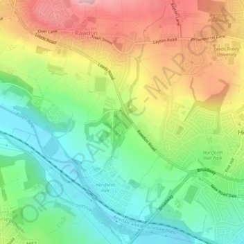
Name: Rawdon Crematorium topographic map, elevation, terrain.
Average elevation: 120 m
Minimum elevation: 42 m
Maximum elevation: 224 m
Other topographic maps
Click on a map to view its topography, its elevation and its terrain.
Rawdon
United Kingdom > England > Leeds > Rawdon
Rawdon, Leeds, West Yorkshire, England, United Kingdom
Average elevation: 131 m