
Sahaba topographic map
Interactive map
Click on the map to display elevation.
About this map
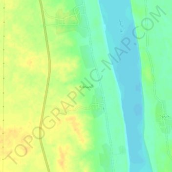
Name: Sahaba topographic map, elevation, terrain.
Location: Sahaba, Northern State, Sudan (18.90963 30.43514 18.94963 30.47514)
Average elevation: 236 m
Minimum elevation: 222 m
Maximum elevation: 251 m