Geolocate

Greens Bayou topographic map

Interactive map

Click on the map to display elevation.

About this map

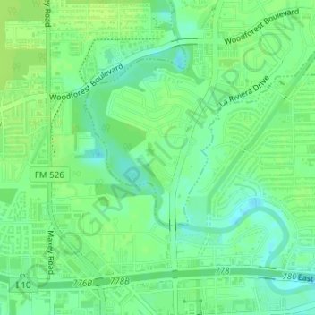
Name: Greens Bayou topographic map, elevation, terrain.

Location: Greens Bayou, Houston, Harris County, Texas, 77015, United States of America (29.76916 -95.21480 29.79350 -95.18987)

Average elevation: 10 m

Minimum elevation: 2 m

Maximum elevation: 15 m

Other topographic maps

Click on a map to view its topography, its elevation and its terrain.

Fairbanks

United States of America > Texas > Houston > Fairbanks

Average elevation: 30 m

Greentree

United States of America > Texas > Houston > Greentree

Average elevation: 23 m

Rosslyn

United States of America > Texas > Houston > Rosslyn

Average elevation: 26 m

Dunnam

United States of America > Texas > Houston > Dunnam

Average elevation: 22 m

Hudson

United States of America > Texas > Houston > Hudson

Average elevation: 31 m

Genoa

United States of America > Texas > Houston > Genoa

Average elevation: 12 m

Heaker

United States of America > Texas > Houston > Heaker

Average elevation: 21 m