
Kamarpukur topographic map
Interactive map
Click on the map to display elevation.
About this map
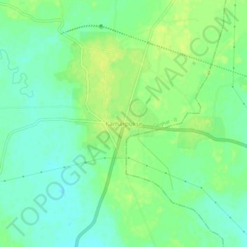
Name: Kamarpukur topographic map, elevation, terrain.
Location: Kamarpukur, Goghat - II, Hugli, West Bengal, 712612, India (22.87546 87.64016 22.91546 87.68016)
Average elevation: 20 m
Minimum elevation: 11 m
Maximum elevation: 27 m