
Bridgewater topographic map
Interactive map
Click on the map to display elevation.
About this map
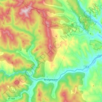
Name: Bridgewater topographic map, elevation, terrain.
Location: Bridgewater, Windsor County, Vermont, United States (43.55802 -72.75795 43.69325 -72.57683)
Average elevation: 455 m
Minimum elevation: 211 m
Maximum elevation: 850 m