
Thachi topographic map
Interactive map
Click on the map to display elevation.
About this map
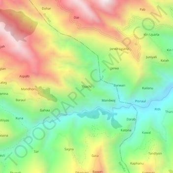
Name: Thachi topographic map, elevation, terrain.
Location: Thachi, Renuka, Sirmaur, Himachal Pradesh, 173032, India (30.72497 77.57114 30.76497 77.61114)
Average elevation: 1,503 m
Minimum elevation: 1,024 m
Maximum elevation: 2,113 m