
Vuhred topographic map
Interactive map
Click on the map to display elevation.
About this map
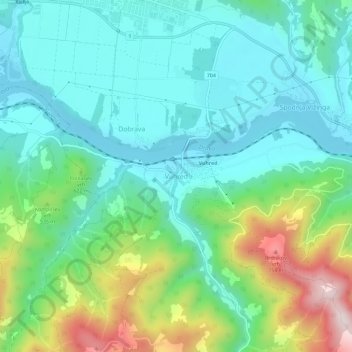
Name: Vuhred topographic map, elevation, terrain.
Location: Vuhred, Radlje ob Dravi, 2365, Slovenia (46.57427 15.21065 46.61427 15.25065)
Average elevation: 449 m
Minimum elevation: 311 m
Maximum elevation: 826 m