La Croix des Hêtres topographic map
Interactive map
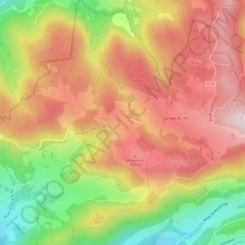
Click on the map to display elevation.
About this map
Name: La Croix des Hêtres topographic map, elevation, terrain.
Average elevation: 722 m
Minimum elevation: 451 m
Maximum elevation: 929 m

Click on the map to display elevation.
Name: La Croix des Hêtres topographic map, elevation, terrain.
Average elevation: 722 m
Minimum elevation: 451 m
Maximum elevation: 929 m