
Masuri topographic map
Interactive map
Click on the map to display elevation.
About this map
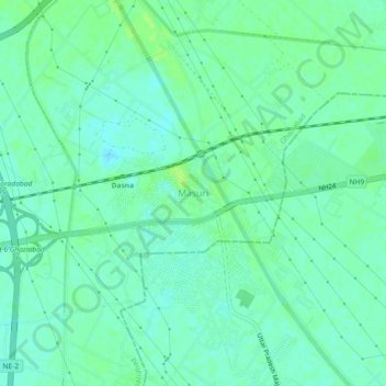
Name: Masuri topographic map, elevation, terrain.
Average elevation: 216 m
Minimum elevation: 210 m
Maximum elevation: 222 m
Other topographic maps
Click on a map to view its topography, its elevation and its terrain.
G B Nagar
India > Uttar Pradesh > Ghaziabad
G B Nagar, Raghunathpuri, Ghaziabad, Ghaziabad District, Uttar Pradesh, 201009, India
Average elevation: 204 m
Ghaziabad
India > Uttar Pradesh > Ghaziabad
Ghaziabad, Uttar Pradesh, 201001, India
Average elevation: 211 m