
Següenco topographic map
Interactive map
Click on the map to display elevation.
About this map
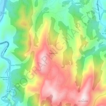
Name: Següenco topographic map, elevation, terrain.
Location: Següenco, Cangas de Onís, 33550, España (43.30100 -5.12770 43.34100 -5.08770)
Average elevation: 371 m
Minimum elevation: 62 m
Maximum elevation: 761 m