
Casanga topographic map
Interactive map
Click on the map to display elevation.
About this map
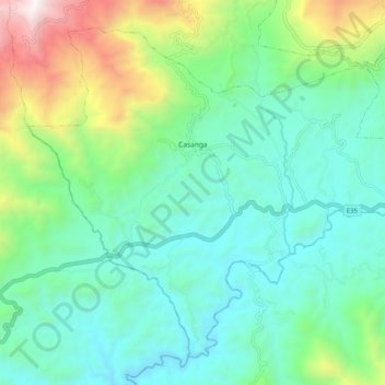
Name: Casanga topographic map, elevation, terrain.
Location: Casanga, Paltas, Loja, Ecuador (-4.06940 -79.80714 -3.98339 -79.70654)
Average elevation: 1,247 m
Minimum elevation: 767 m
Maximum elevation: 2,670 m