
Canjala topographic map
Interactive map
Click on the map to display elevation.
About this map
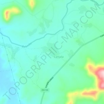
Name: Canjala topographic map, elevation, terrain.
Location: Canjala, Benguela, Angola (-12.03375 13.94011 -11.99375 13.98011)
Average elevation: 266 m
Minimum elevation: 211 m
Maximum elevation: 475 m