
Savuti topographic map
Interactive map
Click on the map to display elevation.
About this map
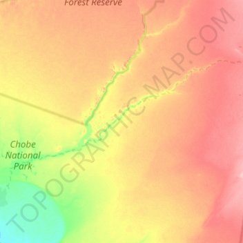
Name: Savuti topographic map, elevation, terrain.
Location: Savuti, Chobe District, Botswana (-18.61874 24.36349 -18.34607 24.90867)
Average elevation: 976 m
Minimum elevation: 924 m
Maximum elevation: 1,024 m
Other topographic maps
Click on a map to view its topography, its elevation and its terrain.
Chobe National Park
Chobe National Park, Nogatsaa - Savuti, Chobe District, Botswana
Average elevation: 964 m