
Texenna topographic map
Interactive map
Click on the map to display elevation.
About this map
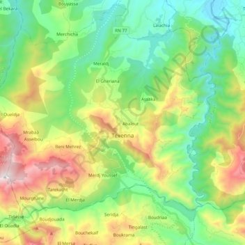
Name: Texenna topographic map, elevation, terrain.
Location: Texenna, Daïra Texenna, Jijel, Algérie (36.59356 5.67233 36.74376 5.86362)
Average elevation: 526 m
Minimum elevation: 21 m
Maximum elevation: 1,522 m
Other topographic maps
Click on a map to view its topography, its elevation and its terrain.