
Santa Isabel topographic map
Interactive map
Click on the map to display elevation.
About this map
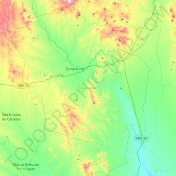
Name: Santa Isabel topographic map, elevation, terrain.
Location: Santa Isabel, Chihuahua, Mexico (28.13593 -106.54515 28.47496 -106.20285)
Average elevation: 1,722 m
Minimum elevation: 1,454 m
Maximum elevation: 2,346 m
Other topographic maps
Click on a map to view its topography, its elevation and its terrain.