
Kingsville topographic map
Interactive map
Click on the map to display elevation.
Kingsville
Kingsville is located in the historic Wild Horse Desert, an area of South Texas and northern Mexico where enormous herds of wild mustangs roamed. Due to water pumping and other environmental factors, the abundance of spring-fed creeks has decreased. Wildlife surrounding Kingsville include deer, wild turkey, and javelinas. Additionally, Kingsville is a winter home to a large number of waterfowl species, including geese, ducks, and pelicans. The city is surrounded by farmland producing various crops including cotton and sorghum. The terrain around Kingsville is generally flat, with an elevation of 59 feet above sea level at city center.
About this map
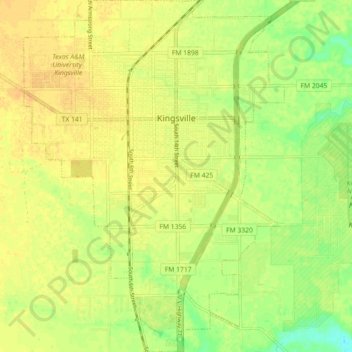
Name: Kingsville topographic map, elevation, terrain.
Location: Kingsville, Kleberg County, Texas, 78363, United States (27.46295 -97.89506 27.54248 -97.82856)
Average elevation: 19 m
Minimum elevation: 2 m
Maximum elevation: 27 m