
Piscataquis County topographic map
Interactive map
Click on the map to display elevation.
About this map
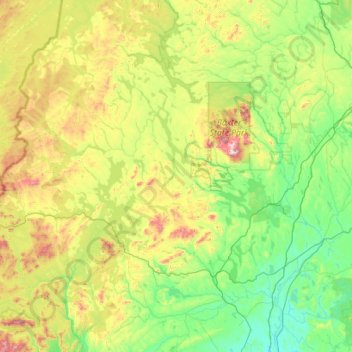
Name: Piscataquis County topographic map, elevation, terrain.
Location: Piscataquis County, Maine, United States of America (45.01101 -69.82470 46.57362 -68.77611)
Average elevation: 310 m
Minimum elevation: 31 m
Maximum elevation: 1,571 m
Other topographic maps
Click on a map to view its topography, its elevation and its terrain.
The Fort
United States of America > Maine
The Fort, Hancock County, Maine, 04682, United States of America
Average elevation: 16 m