
Sidi Ahmed topographic map
Interactive map
Click on the map to display elevation.
About this map
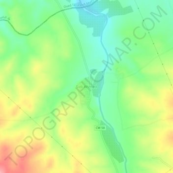
Name: Sidi Ahmed topographic map, elevation, terrain.
Location: Sidi Ahmed, Sidi Boubekeur District, Saïda, Algeria (35.05270 -0.00842 35.09270 0.03158)
Average elevation: 496 m
Minimum elevation: 451 m
Maximum elevation: 560 m