
Vaupés topographic map
Interactive map
Click on the map to display elevation.
About this map
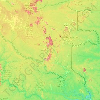
Name: Vaupés topographic map, elevation, terrain.
Location: Vaupés, Colombia (-1.22767 -72.03294 2.08010 -69.11563)
Average elevation: 174 m
Minimum elevation: 62 m
Maximum elevation: 639 m