
Bad Berleburg topographic map
Interactive map
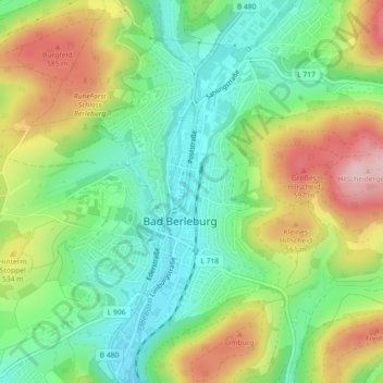
Click on the map to display elevation.
About this map
Name: Bad Berleburg topographic map, elevation, terrain.
Average elevation: 488 m
Minimum elevation: 404 m
Maximum elevation: 617 m
Other topographic maps
Click on a map to view its topography, its elevation and its terrain.
Somborn
Deutschland > Nordrhein-Westfalen > Bad Berleburg
Somborn, Bad Berleburg, Kreis Siegen-Wittgenstein, Regierungsbezirk Arnsberg, Nordrhein-Westfalen, Deutschland
Average elevation: 620 m