
Khutse Game Reserve topographic map
Interactive map
Click on the map to display elevation.
About this map
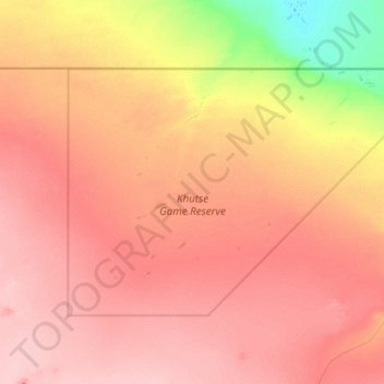
Name: Khutse Game Reserve topographic map, elevation, terrain.
Location: Khutse Game Reserve, Kweneng District, Botswana (-23.76093 23.92304 -23.32042 24.66838)
Average elevation: 1,065 m
Minimum elevation: 993 m
Maximum elevation: 1,110 m
Other topographic maps
Click on a map to view its topography, its elevation and its terrain.
Khudumelapye
Khudumelapye, Kweneng District, Botswana
Average elevation: 1,071 m
Mogoditshane
Botswana > Kweneng District > Mogoditshane
Mogoditshane, Kweneng District, 502733, Botswana
Average elevation: 1,025 m
Lentsweletau
Lentsweletau, Kweneng District, Botswana
Average elevation: 1,020 m
Metsimotlhabe
Botswana > Kweneng District > Metsimotlhabe
Metsimotlhabe, Kweneng District, Botswana
Average elevation: 993 m