
Kokory topographic map
Interactive map
Click on the map to display elevation.
About this map
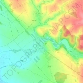
Name: Kokory topographic map, elevation, terrain.
Location: Kokory, okres Přerov, Olomouc Region, Central Moravia, Czechia (49.47944 17.35118 49.51573 17.39919)
Average elevation: 239 m
Minimum elevation: 203 m
Maximum elevation: 286 m