
MacDowell Colony topographic map
Interactive map
Click on the map to display elevation.
About this map
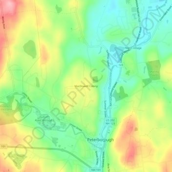
Name: MacDowell Colony topographic map, elevation, terrain.
Average elevation: 261 m
Minimum elevation: 204 m
Maximum elevation: 343 m
Other topographic maps
Click on a map to view its topography, its elevation and its terrain.
West Peterborough
United States > New Hampshire > Hillsborough County > Peterborough
West Peterborough, Peterborough, Hillsborough County, New Hampshire, 03468, United States
Average elevation: 299 m