
Make a donation
Byron Bay topographic map
Click on the map to display elevation.
Make a donation
Byron Bay
Byron Bay, located in northeastern New South Wales, Australia, is characterized by diverse topography shaped by its geological history. The town is part of the erosion caldera of the ancient Tweed Volcano, which erupted approximately 23 million years ago, resulting in the rich volcanic soils that define the region's rolling hills and lush vegetation. The coastal landscape features white sand beaches stretching along the shoreline, with Cape Byron marking the easternmost point of mainland Australia. Inland, the terrain transitions to subtropical rainforests and undulating hills, offering a variety of elevations and scenic vistas. This varied terrain contributes to Byron Bay's unique natural beauty and ecological diversity.
Make a donation
About this map
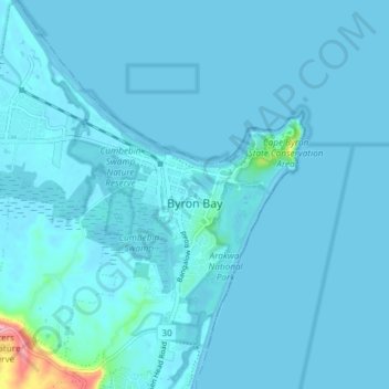
Name: Byron Bay topographic map, elevation, terrain.
Average elevation: 7 m
Minimum elevation: -1 m
Maximum elevation: 145 m
Make a donation