
Jebel Aulia topographic map
Interactive map
Click on the map to display elevation.
About this map
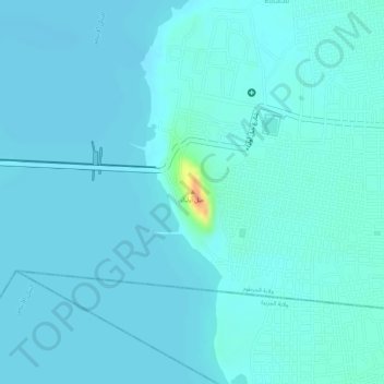
Name: Jebel Aulia topographic map, elevation, terrain.
Location: Jebel Aulia, Khartoum State, Sudan (15.23649 32.49380 15.23659 32.49390)
Average elevation: 382 m
Minimum elevation: 376 m
Maximum elevation: 425 m
Other topographic maps
Click on a map to view its topography, its elevation and its terrain.
Jebel Aulia Dam
Sudan > Khartoum State > Jebel Aulia
Jebel Aulia Dam, Jebel Aulia, Khartoum State, Sudan
Average elevation: 380 m