
Khenchela topographic map
Interactive map
Click on the map to display elevation.
About this map
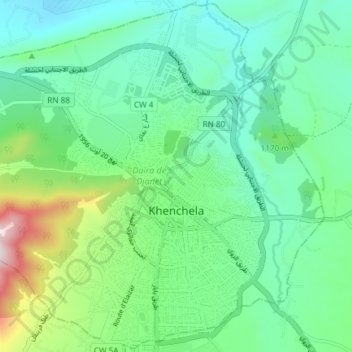
Name: Khenchela topographic map, elevation, terrain.
Location: Khenchela, Khenchela District, Khenchela, Algeria (35.40649 7.10277 35.46579 7.17705)
Average elevation: 1,116 m
Minimum elevation: 971 m
Maximum elevation: 1,552 m