
Rasht topographic map
Interactive map
Click on the map to display elevation.
About this map
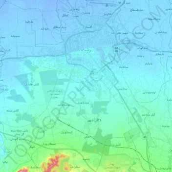
Name: Rasht topographic map, elevation, terrain.
Location: Rasht, Rasht County, Gilan Province, Iran (37.15886 49.51374 37.32986 49.67293)
Average elevation: 10 m
Minimum elevation: -21 m
Maximum elevation: 136 m