
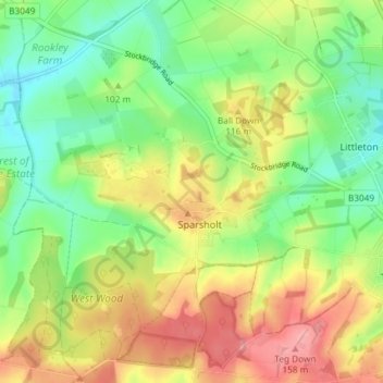
Sparsholt topographic map
Interactive map
Click on the map to display elevation.
About this map
Name: Sparsholt topographic map, elevation, terrain.
Average elevation: 102 m
Minimum elevation: 55 m
Maximum elevation: 162 m
Other topographic maps
Click on a map to view its topography, its elevation and its terrain.
Winchester
United Kingdom > England > Winchester
Winchester, Hampshire, South East, England, United Kingdom
Average elevation: 73 m