
Larrondo topographic map
Interactive map
Click on the map to display elevation.
About this map
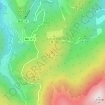
Name: Larrondo topographic map, elevation, terrain.
Location: Larrondo, Baztan, Navarre, Spain (43.06492 -1.60418 43.06502 -1.60408)
Average elevation: 767 m
Minimum elevation: 430 m
Maximum elevation: 1,284 m
Other topographic maps
Click on a map to view its topography, its elevation and its terrain.