
Tidbury Green topographic map
Interactive map
Click on the map to display elevation.
About this map
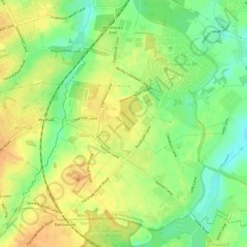
Name: Tidbury Green topographic map, elevation, terrain.
Average elevation: 147 m
Minimum elevation: 127 m
Maximum elevation: 162 m
Other topographic maps
Click on a map to view its topography, its elevation and its terrain.
Meriden
United Kingdom > England > Solihull
Meriden, Solihull, West Midlands Combined Authority, West Midlands, England, United Kingdom
Average elevation: 137 m