
Theux topographic map
Interactive map
Click on the map to display elevation.
About this map
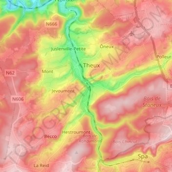
Name: Theux topographic map, elevation, terrain.
Location: Theux, Verviers, Liège, Wallonia, 4910, Belgium (50.48938 5.75241 50.56222 5.88283)
Average elevation: 281 m
Minimum elevation: 115 m
Maximum elevation: 375 m