
La Punta topographic map
Interactive map
Click on the map to display elevation.
About this map
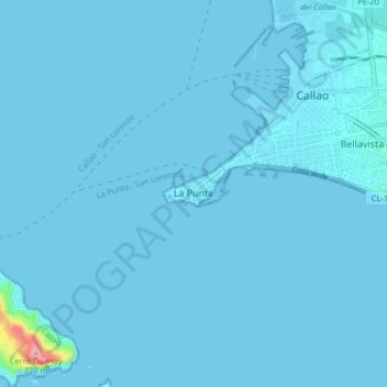
Name: La Punta topographic map, elevation, terrain.
Location: La Punta, Constitutional Province of Callao, 07021, Peru (-12.11266 -77.20425 -12.03266 -77.12425)
Average elevation: 4 m
Minimum elevation: 0 m
Maximum elevation: 227 m