
Ghat topographic map
Interactive map
Click on the map to display elevation.
About this map
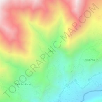
Name: Ghat topographic map, elevation, terrain.
Location: Ghat, Chitrāl District, Khyber Pakhtunkhwa, Pakistan (36.30042 72.19267 36.34042 72.23267)
Average elevation: 2,657 m
Minimum elevation: 2,004 m
Maximum elevation: 3,505 m