
Olten topographic map
Interactive map
Click on the map to display elevation.
About this map
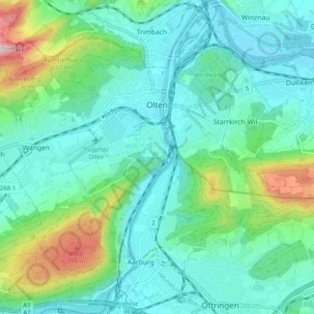
Name: Olten topographic map, elevation, terrain.
Location: Olten, Bezirk Olten, Amtei Olten-Gösgen, Solothurn, Switzerland (47.31103 7.87485 47.36892 7.92908)
Average elevation: 485 m
Minimum elevation: 381 m
Maximum elevation: 918 m