
Unterbruch topographic map
Interactive map
Click on the map to display elevation.
About this map
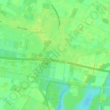
Name: Unterbruch topographic map, elevation, terrain.
Average elevation: 40 m
Minimum elevation: 31 m
Maximum elevation: 44 m
Other topographic maps
Click on a map to view its topography, its elevation and its terrain.
Schloss Neersen
Deutschland > Nordrhein-Westfalen > Willich
Schloss Neersen, Schlosshof Neersen, Neersen, Willich, Kreis Viersen, Regierungsbezirk Düsseldorf, Nordrhein-Westfalen, 47877, Deutschland
Average elevation: 38 m