
Punakha District topographic map
Interactive map
Click on the map to display elevation.
About this map
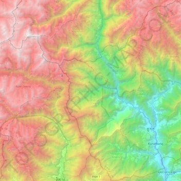
Name: Punakha District topographic map, elevation, terrain.
Location: Punakha District, Bhutan (27.51966 89.60831 27.85352 90.03640)
Average elevation: 3,240 m
Minimum elevation: 1,191 m
Maximum elevation: 5,645 m