
Crathie topographic map
Interactive map
Click on the map to display elevation.
About this map
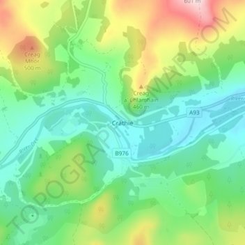
Name: Crathie topographic map, elevation, terrain.
Location: Crathie, Aberdeenshire, Scotland, AB35 5UL, United Kingdom (57.01950 -3.23496 57.05950 -3.19496)
Average elevation: 359 m
Minimum elevation: 255 m
Maximum elevation: 588 m