
Phú Bài topographic map
Interactive map
Click on the map to display elevation.
About this map
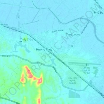
Name: Phú Bài topographic map, elevation, terrain.
Location: Phú Bài, Hương Thủy, Thừa Thiên-Huế Province, Vietnam (16.36930 107.63798 16.44930 107.71798)
Average elevation: 13 m
Minimum elevation: -2 m
Maximum elevation: 149 m