
Waregem topographic map
Interactive map
Click on the map to display elevation.
About this map
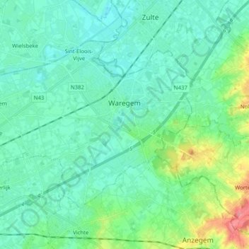
Name: Waregem topographic map, elevation, terrain.
Location: Waregem, Kortrijk, West Flanders, Flanders, Belgium (50.84498 3.32016 50.91139 3.47625)
Average elevation: 21 m
Minimum elevation: 3 m
Maximum elevation: 89 m
Other topographic maps
Click on a map to view its topography, its elevation and its terrain.