
Wingene topographic map
Interactive map
Click on the map to display elevation.
About this map
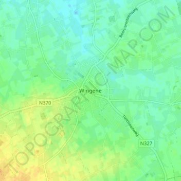
Name: Wingene topographic map, elevation, terrain.
Location: Wingene, Tielt, West-Vlaanderen, Vlaanderen, 8750, België (51.03817 3.25797 51.07817 3.29797)
Average elevation: 22 m
Minimum elevation: 12 m
Maximum elevation: 38 m