
Weert topographic map
Interactive map
Click on the map to display elevation.
About this map
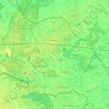
Name: Weert topographic map, elevation, terrain.
Location: Weert, Limburg, Netherlands (51.18042 5.56605 51.29058 5.79177)
Average elevation: 33 m
Minimum elevation: 18 m
Maximum elevation: 56 m
Other topographic maps
Click on a map to view its topography, its elevation and its terrain.
Maastricht
Netherlands > Limburg > Maastricht
Maastricht, Eijsden-Margraten, Limburg, Netherlands
Average elevation: 73 m