
Lobatse topographic map
Interactive map
Click on the map to display elevation.
About this map
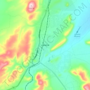
Name: Lobatse topographic map, elevation, terrain.
Location: Lobatse, South-East District, Botswana (-25.25006 25.64196 -25.17006 25.72196)
Average elevation: 1,248 m
Minimum elevation: 1,150 m
Maximum elevation: 1,467 m